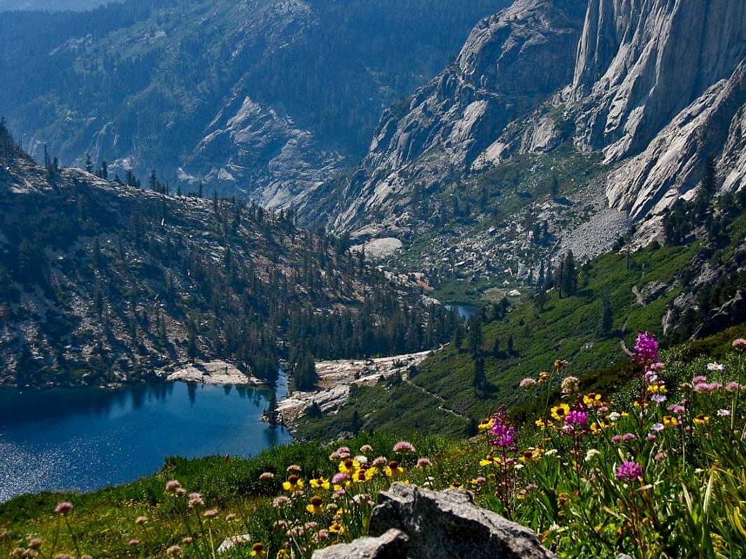
The High Sierra Trail begins at the Crescent Meadow trailhead in Sequoia National Park and ends up 72.2 miles later at Whitney Portal. The elevation gain/loss is +15,531/-13,866 feet according to Paul Richins, Jr., author of Mount Whitney (2nd Ed., The Mountaineers Books). This hike was created by the National Park Service and was completed in 1930. It is a six to eight day hike, from start to finish, not including any transportation time, for most average hikers. Since I am not an average hiker, we will be taking 10 days, and that will include Mt. Whitney, the highest point in the contiguous US.
Here is an official overview of the hike published by the National Park Service (the link is noted below):
“The High Sierra Trail leads from Crescent Meadow up the canyon of the Middle Fork of the Kaweah River, crossing the Great Western Divide by the 10,700' (3261 meters) pass known as Kaweah Gap. It descends into Big Arroyo, then climbs up to the Chagoopa Plateau, and drops down again into the Kern River Canyon. After running up the bottom of the Kern Canyon, it turns east, climbing parallel to Wallace Creek up to the junction with the John Muir Trail, 49 miles (79 km) from the starting point. You can then follow the John Muir Trail about 13 more miles (21 km) to the summit of Mount Whitney.”
This is a great hike; the biggest problem with the hike is not the hike itself, but the logistics of a shuttle or being dropped off and then picked up from the trailheads on opposite sides of the Sierras.
http://www.summitpost.org/high-sierra-trail/845543
No comments:
Post a Comment